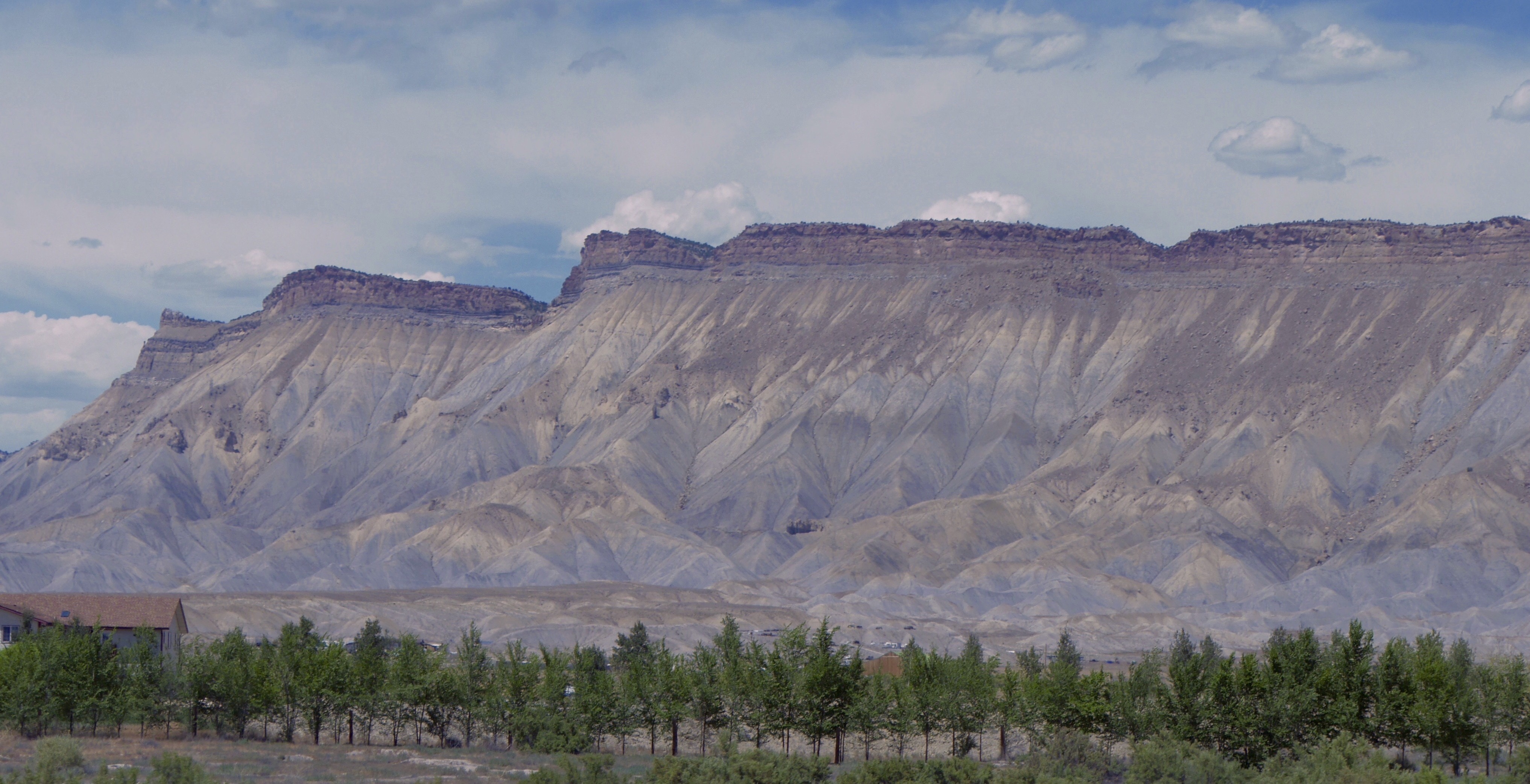
Moab, UT – Arches National Park
Ever since I started spending most of the summer in Colorado two years ago, I’ve been thinking I should take the opportunity to visit Moab. Additionally, given the relative proximity to SLC, I thought it might be a good way to meet up with my friend Marty. This year, I finally got around to broaching the subject with Marty and it turned out that he already had a plan to be in Moab one weekend with his daughter and I was welcome to join. Great! It also happened to be one of the weekends during Marci’s much shorter Colorado stay this year, so she was able to make the trip with me.
It was good to see Marty again (for the fourth time if my count is correct) and to meet his daughter. We had a nice dinner and then spent the morning at Arhces National Park. Below are some photo highlights.

Interesting cloud waves


Marci under Delicate Arch

Ren under Delicate Arch

Ren pushing Delicate Arch

Balanced (Balancing?) Rock

Double Arches
Short-lived
Posted by renm in Macro Monday on July 20, 2016
Well, that didn’t take long. I’m simply not motivated to take Macro Monday photos. Here’s the full size version of the last one: Read the rest of this entry »
Macro Monday #80
Posted by renm in Macro Monday on July 11, 2016

Last week’s: Read the rest of this entry »
Macro Monday #79
Posted by renm in Macro Monday on July 5, 2016

I wonder if this will be even easier than last week’s, the full version of which is below. Read the rest of this entry »
Macro Monday #78 – Resurgence
Posted by renm in Macro Monday on June 28, 2016

Not sure how long it’ll last, but I’ll give it another go!
Two Peaks
Just a bit south of Idaho Springs is a pseudo hiking trail up to Flirtation Peak. I say “pseudo” because parts of it are dirt roads and parts of it are little more than dry rain wash ways. It is about a mile hike from the house to the peak, and a bit more than a 700 foot climb. I’ve been to this peak two or three times in the past and yesterday I decided that hiking up there again would be a good way to complete my Move circle for what had been a fairly inactive day.

View of Idaho Springs on the way up to Flirtation Peak
Along the way, I noticed a fence line down the side of the hill, but it did not look like it was going to be a problem. I reached the second peak without difficulty, though along the way I did encounter a hole that was surprisingly deep. I avoided the hill above the hole in a nod toward extreme caution among the loose rocks. The couple of pictures I took of the hole may not communicate its size well. I estimate that it was at least five feet across and maybe twenty feet deep.


The second peak didn’t afford the same views as the first peak as it was crowded with trees. I spent a few minutes looking around and then considered how close this peak was to the road. Rather than go back the way I came, I decided to explore the much shorter route down to the road. Foolish choice. It wasn’t a shorter route overall, just a shorter descent. Naturally, this also meant that it was a steeper descent. Luckily, this steepness never manifested as drop-offs. Even so, it eventually became steep enough, and scree-covered, that my footing became precarious. When I did finally take a spill, it was, to my surprise, not from loose rocks. Instead, my shoe slipped on the side of a large rock. Given the lack of moisture, I suspect the poor quality of my shoes that was a significant factor. For no good reason, I had decided to wear my recently replaced running shoes rather than my hiking shoes.

View of Idaho Springs on the way down from Second Peak
I came away with only minor cuts on my hands, though I still had a good bit of the scree to navigate. I did so very carefully and picked up a walking stick in short order. I slid a few more times, but mostly kept my feet. As I neared the bottom, I was a bit troubled that it appeared that I would end up on the back side of several houses, with no clear path to the road. However, I then noticed a small trail behind the houses running parallel to the road. I correctly suspected that it would lead back to one of the dirt roads I had been on during my ascent. From there, it was a simple matter to hike back to the house.


Hiked 15.8 miles to complete 13.6 AT miles (or Bridge Out!)
 For my second day of joining Travis, I anticipated a much easier hike than previously. In truth, that’s what I got, though not as easy as expected. The first 7 miles or so were pretty good, but then my left knee started to bother me again. I downed some Vitamin I and proceeded gingerly for a while until it kicked in and the trail descent lessened. Not too bad.
About 11 miles in, we reached the shelter where we planned to eat lunch. There were other hikers there and we happened to discover that our planned pick-up point with Marci was on a section of the Blue Ridge Parkway that was closed

One end of the closed section
for bridge maintainence. This presented a definite problem as the next road intersection after that was also on the closed section. Yikes!
The next reachable road crossing was about 10 miles down the trail, much further than I felt capable of doing. Going backward wasn’t a great option either, though I don’t know how far. Luckily, we figured out that there was an additional 2.2 mile trail from my planned stopping point to another road. As we approached my original stopping point, there was a pretty significant climb, so I worried that there would be an equally significant descent to where I would meet Marci. As it turned out, the descent was very gradual over the entire 2.2 miles, so my knee didn’t balk too much.
The rest of the group didn’t want to stop this early, particularly not with having to do the extra 2.2 miles both today and tomorrow. Instead, they chose to continue to the remaining 8 miles to the next crossing mentioned above, where Marci and I would meet them to pick them up and drive them back to Daleville.

Bevo (Travis, in front), Stitch (in pink), Secret Agent (in blue), and Bright Bags (in green)
Prior to the road closure issue, the plan had been for the rest of the group to hike a couple of additional miles after my stopping point and then I would join them there tomorrow for another 14.4 miles. At that point, Marci would pick me up and deliver their packs to the other hikers, who would continue on some before camping for the night. However, with my knee situation, I was hoping for something shorter — closer to 5 miles. The new starting point does offer the possibility of a 6.6 mile hike for me, but it includes a large amount of downhill hiking and I just don’t think my knee will be up for it. Thus, today was my last day of hiking.
Instead of hiking tomorrow, I will deliver the other hikers to their starting point and then meet them at the 6.6 mile point with some cookies and sodas. Then, I will meet them again several hours later near their ending point for the day (over 20 miles) with some Rudy’s BBQ we brought to Virginia from Texas, along with their packs.
19.8 Miles – McAfee Knob
My friend Travis is thru-hiking the Appalachian Trail from Georgia to Maine. It’s awesome.
 Today, I joined him and his “trail family” for a portion of the hike, particularly selected for its inclusion of the famous McAfee Knob overlook. Unfortunately, this meant that the mileage for the day would be longer than I’d like: 19.8 miles. A tall order given that my longest preparatory hike was just 10 miles of relatively flat trail and this hike would include a 1500ft climb over the first 4 miles and several more climbs after that.
We can do it!
It was a wonderful day, which was particularly nice as we’d been concerned about rain and their previous day had been a miserable day of cold, wet hiking over dangerous terrain. Today couldn’t have been more different.
Everything is awesome!
While by no means easy, I did pretty well through the first 18 miles or so. Then, on the final downhill stretch, my left knee decided it had had enough and I had to really slow down. A couple of ibuprofen and some flat trail worked it out a bit and we finished the hike after a bit more than 9 hours (including several photo and water stops and a half hour lunch stop).
I’ll see how my legs feel tomorrow, but the current plan is to take tomorrow off and then for me to join them for two more days of ~15 miles per day.
Oh, and I got over 3000 active calories (and over 50K steps) on my Watch.


Circles
Posted by renm in Uncategorized on May 5, 2016

Missed it by *this* much
A circle is beautiful.
A circle is perfection.
Except when it is not a circle.
The Watch with its Activity Circles can be a harsh taskmaster. The Stand (blue) and Exercise (green) circles aren’t too bad: every week is a fresh opportunity with the previous week’s results no longer relevant. The Move (red) circle is the true master with multiple long term goals including perfect months and, my personal demon, longest streak.
During our Christmas trip to Jamaica, I managed to complete the move circle every day, and without arbitrarily reducing the goal. On the last day, I figured I would get plenty of walking in the various airports, so I didn’t make an extra effort to burn more calories in the morning. As I checked my progress throughout the day, things seemed okay. However, when we arrived back in Austin and got to our car, I was concerned by the number of calories I still needed and the limited amount of time left in the day (which ends promptly at midnight and isn’t particularly time zone friendly).

Not so itsy-bitsy
I expected to be home about 10 minutes before midnight with only about 10-15 calories left to the goal. This would not be a problem. Unless, of course, I were to be distracted by my daughters finding a fairly large spider had built a web by our front door. I took the time to take a picture and by the time I remembered the calorie goal, I only had about two minutes left. I didn’t make it, ending my 166 day stretch. As you can see above, I missed the goal by 2 calories.
I took the next day off and then began the slow march toward rebuilding the 166 day streak. I only made it to February 20 before another mishap, this time 6 calories short ending a mere 54-day streak.
Begin again. As of May 4th (May the forth be with you), I believe I am 74 days in, though I had to set a pretty low goal recently due to a mild illness in order to keep on track.
As I finish writing this, it occurs to me that it has drifted past midnight and I had neglected to verify completion. Thankfully, I had not yet increased my goal back up, so it was no problem (and I just now increased it back to a more reasonable goal).
Thank you. May I have another?
States I’ve Visited (as an adult)
visited 27 states (54%)
